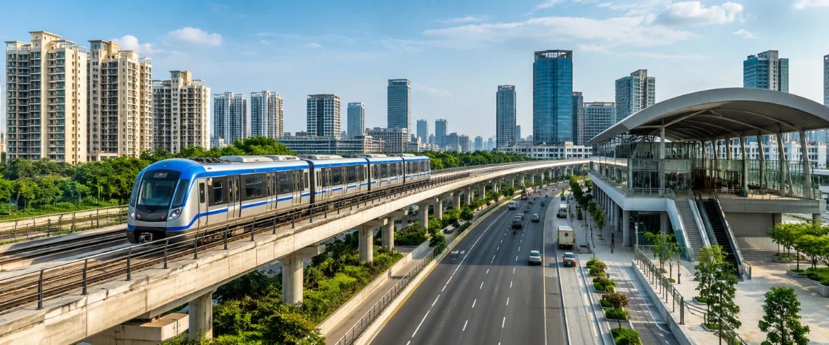
Transport infrastructure plays an important role in how a city develops and how people access workplaces, educational institutions, commercial areas and essential services. Thane’s position within the Mumbai Metropolitan Region makes its road network and public transport systems relevant to people travelling across several parts of the region.
The city’s transport network includes established arterial roads, major junctions, railway connections and metro infrastructure under development. Understanding how these systems work together offers a clearer picture of Thane’s connectivity and the challenges involved in supporting a growing urban population.
TABLE OF CONTENTS
- Understanding Thane’s Transport Network
- Eastern Express Highway and Its Role in Regional Travel
- Ghodbunder Road and East-West Connectivity
- Metro Line 4 and the Expansion of Public Transport
- Major Infrastructure Projects Reshaping Regional Connections
- The Challenges of Managing Urban Traffic
- What Transport Infrastructure Means for Residential Locations
- Conclusion
1. UNDERSTANDING THANE’S TRANSPORT NETWORK
Thane’s transport network serves both local journeys and longer trips across the Mumbai Metropolitan Region. Its roads connect residential areas with commercial districts, industrial locations and routes leading towards Mumbai and other surrounding areas.
The network includes different forms of transport, each serving a particular purpose. Major roads carry private vehicles, buses and commercial traffic, while suburban railways and metro infrastructure provide alternatives for passenger movement.
1.1 HOW ROAD AND PUBLIC TRANSPORT WORK TOGETHER
Road infrastructure supports movement between neighbourhoods and connects areas that may not have direct railway access. Public transport, meanwhile, can carry large numbers of passengers without requiring each person to use a private vehicle.
These systems are most effective when their routes, interchange points and local access arrangements work together. Convenient access to a station or bus stop can make public transport more practical for everyday journeys.
Thane’s continued urban development makes this coordination important, particularly where residential growth increases demand on already busy roads.
1.2 THE IMPORTANCE OF REGIONAL CONNECTIONS
Thane is connected to several major employment and commercial areas within the Mumbai Metropolitan Region. Journeys may involve movement towards Mumbai, the eastern suburbs, the western side of the region or industrial areas beyond the city.
The usefulness of a transport route depends on the destination, journey time, traffic conditions and available alternatives. A road that works well for one journey may not be the most convenient option for another.
For this reason, connectivity is best assessed through the wider network rather than by looking at a single road or junction.
2. EASTERN EXPRESS HIGHWAY AND ITS ROLE IN REGIONAL TRAVEL
The Eastern Express Highway is an important road corridor serving Thane and connecting the city with Mumbai’s eastern suburbs. It accommodates substantial movement through several major junctions and supports journeys between residential, commercial and employment areas.
The highway’s importance also means that traffic conditions at key junctions can influence travel across surrounding parts of the city.
2.1 WHY MAJIWADA JUNCTION MATTERS
Majiwada is a significant junction on the Eastern Express Highway. According to the Mumbai Metropolitan Region Development Authority (MMRDA), the junction also connects with Ghodbunder Road, which carries traffic towards the Mumbai-Ahmedabad Highway and other regional destinations.
This meeting of major routes creates an important connection point within Thane’s road network. It also means that traffic entering or leaving one corridor can affect movement on adjoining roads.
For residents and commuters, the practical effect depends on their destination, travel time and the traffic conditions on the day.
2.2 THE ANAND NAGAR TO SAKET ELEVATED ROAD PROJECT
MMRDA has undertaken an elevated road project between Anand Nagar and Saket along the Eastern Express Highway in Thane. The proposed corridor is approximately 8.24 kilometres long and is planned as a six-lane elevated road.
The project is intended to address congestion along this busy stretch. MMRDA’s published project information records construction activity, including utility diversion and work on piles and supporting structures.
Its final benefits will depend on completion, operational arrangements and how effectively the elevated corridor integrates with existing roads. It should therefore be understood as an infrastructure project under development rather than an already completed improvement.
3. GHODBUNDER ROAD AND EAST-WEST CONNECTIVITY
Ghodbunder Road is another important component of Thane’s transport network. It links the Majiwada junction on the Eastern Express Highway with the western side of the region near the Mumbai-Ahmedabad Highway corridor.
The road serves local traffic as well as longer-distance movement. This combination makes it an important route for commuters, commercial vehicles and people travelling between different parts of Thane.
3.1 A BUSY CORRIDOR WITH MULTIPLE FUNCTIONS
Ghodbunder Road supports access to residential neighbourhoods, commercial establishments and other destinations along its route. As development expands around the corridor, the number and variety of journeys using it can also increase.
This creates a planning challenge because local traffic and through traffic share parts of the same network. Vehicles entering residential areas may travel relatively short distances, while others use the road to reach destinations farther away.
Managing these different demands requires coordinated junction design, suitable road capacity and effective connections with adjoining routes.
3.2 ROAD IMPROVEMENT AND SERVICE ROAD WORKS
MMRDA has also undertaken improvement works along Ghodbunder Road, including the integration of service roads with the main carriageway and improvements to road sections between Kapurbawdi and Gaimukh.
Such work is intended to improve the use of available road space and address bottlenecks. However, construction can also affect traffic movement temporarily, making the current work status relevant to commuters.
Long-term improvements depend not only on widening roads but also on junction management, access planning and the ability of the surrounding network to handle additional traffic.
4. METRO LINE 4 AND THE EXPANSION OF PUBLIC TRANSPORT
Mumbai Metro Line 4 is planned as an elevated metro corridor connecting Wadala with Kasarvadavali through the eastern and central parts of the Mumbai Metropolitan Region. MMRDA lists the corridor at approximately 32.32 kilometres, with 30 stations, including Majiwada.
The project is intended to expand mass transit options across areas served by the corridor and provide an alternative to road-based journeys.
4.1 HOW METRO LINE 4 CAN SUPPORT URBAN MOBILITY
Metro services can carry large numbers of passengers along a fixed route and reduce the need for some journeys by private vehicle. Their practical value depends on station access, service frequency, passenger capacity and connections with other transport modes.
For people travelling regularly, the distance between home, the nearest station and the final destination remains an important consideration. A metro station may be useful for one journey while a direct bus or road route may suit another.
The overall benefit comes from having more practical travel choices rather than relying on one mode for every trip.
4.2 UNDERSTANDING THE PROJECT’S STATUS
Metro construction involves several stages, including civil works, station completion, systems installation, testing and approvals before passenger services can begin on a particular section.
MMRDA’s published project information identifies Majiwada as one of the stations on Line 4. However, the inclusion of a station in the planned corridor should not be treated as confirmation that passenger services are operational.
Commuters and residents should distinguish between completed construction, trial operations and regular passenger service when assessing the current usefulness of a metro connection.
5. MAJOR INFRASTRUCTURE PROJECTS RESHAPING REGIONAL CONNECTIONS
Thane’s transport planning extends beyond individual road junctions and metro stations. Several projects aim to improve connections between different parts of the Mumbai Metropolitan Region.
5.1 THANE-BORIVALI TWIN TUBE TUNNEL
The Thane-Borivali Twin Tube Tunnel project is being implemented by MMRDA to provide a direct road connection between Thane and Borivali beneath Sanjay Gandhi National Park.
According to MMRDA, the existing road journey between these areas is approximately 23 kilometres and can take around one to one-and-a-half hours, depending on conditions. The authority estimates that the tunnel could reduce the journey to approximately 15 minutes once operational.
These figures are projected journey times, not a guarantee for every trip. The actual benefit will depend on the completed facility, its operating arrangements and traffic conditions at connecting roads.
5.2 THE WIDER PURPOSE OF REGIONAL INFRASTRUCTURE
Large transport projects can improve access between employment centres, residential areas and commercial destinations. They can also change how traffic is distributed across the wider road network.
However, each project has a defined route and purpose. A tunnel serving Thane and Borivali, for example, has a different role from a local road improvement or a metro station within an established neighbourhood.
Understanding these differences helps residents assess which infrastructure developments are relevant to their own travel patterns.
6. THE CHALLENGES OF MANAGING URBAN TRAFFIC
New transport infrastructure can increase network capacity, but it does not remove every cause of congestion. Traffic conditions also depend on the number of vehicles, road access points, junction design, construction activity and travel demand at different times of the day.
6.1 WHY MAJOR JUNCTIONS EXPERIENCE CONGESTION
Junctions bring together traffic from different directions. When several busy roads meet, turning movements, merging vehicles and pedestrian activity can slow traffic even when the adjoining roads have substantial capacity.
Construction work can add temporary restrictions, while nearby commercial and residential activity may create frequent entry and exit movements.
Addressing these conditions requires a combination of road design, traffic management, public transport and careful planning of new developments.
6.2 THE ROLE OF PUBLIC TRANSPORT AND LAST-MILE ACCESS
Public transport is more convenient when people can reach stations and stops without difficulty. Walking routes, feeder services, bus connections and safe pedestrian crossings can all influence whether commuters choose public transport over private vehicles.
Last-mile access refers to the final part of a journey between a transport stop and the actual destination. Even a well-connected metro corridor may be less useful if this final section is difficult to cover.
Improving these local connections can help the wider transport network serve more people effectively.
7. WHAT TRANSPORT INFRASTRUCTURE MEANS FOR RESIDENTIAL LOCATIONS
Transport access is one of several factors people consider when evaluating a residential location. A useful assessment looks at actual routes, travel requirements and available transport options rather than relying only on a broad claim that an area is well connected.
7.1 ASSESSING CONNECTIVITY FOR DAILY ROUTINES
People travelling to work, schools, healthcare facilities or commercial areas may have different transport priorities. Someone commuting towards Mumbai may value a different route from someone whose daily activities remain within Thane.
A practical location assessment can consider:
- The nearest operational railway station, metro station or bus stop.
- The main road routes serving regular destinations.
- Typical journey conditions at the times travel usually takes place.
- Access to local services without long or complicated journeys.
- Alternative travel options when a route is congested or disrupted.
These factors provide a more realistic view of everyday connectivity than distance alone.
7.2 CONNECTIVITY IN THE CONTEXT OF MAJIWADA
Majiwada’s position at the junction of the Eastern Express Highway and Ghodbunder Road makes it relevant to Thane’s wider transport network. At the same time, traffic conditions and the operational status of individual infrastructure projects remain important considerations.
For people researching residential options, Rustomjee Majiwada can be explored alongside the surrounding transport network to understand how the location relates to their regular destinations.
The most useful assessment considers the actual address, available routes and current public transport services rather than assuming that every proposed infrastructure project will immediately improve daily travel.
CONCLUSION
Thane’s transport network combines major road corridors, established junctions and public transport infrastructure at different stages of development. The Eastern Express Highway, Ghodbunder Road and Metro Line 4 each have a distinct role in supporting movement across the city and the wider Mumbai Metropolitan Region.
Future improvements may offer additional travel options, but their practical benefits depend on completion, integration and day-to-day operating conditions. Understanding these details helps residents and commuters make more informed decisions about how different parts of Thane connect.
EXPLORE RUSTOMJEE MAJIWADA
To learn more about the residential project and its location, visit www.rustomjeemajiwada.com or contact the team for further details.
Contact: +91 8530810212